


Mon 4th May
I stopped at Ashley’s boat for a day of catching up on washing and admin yesterday, and today was another cold wake up on the boat, but I planned to go for a run this morning. I had bought my new trainers before I started the trip in the view to start jogging while travelling. I knew it would be flat around the harbour and continuing round the bay, so a good start to the jogging. I set off at a reasonable pace, and as usual I slowed slightly into my natural pace. It didn’t feel bad though, and I managed to plod along. I thought to myself I could probably continue for a while if it was one way, but the thought of coming back along the same road was boring and I didn’t like the idea, so I thought I’d continue to a target then walk back. I got to the end of the road and my strava said 2.5km, which I was happy with. There was a memorial on the rocks with a plaque and a bench, to commemorate two fishermen who has drowned about a mile from shore. The bench must have been dedicated by one of their partners. It read ‘Till my last day… I’ll be loving you. You and me… it’s a forever kind of thing. As I linger here, the wind whispers your name… and my heart knows you are here with me.’ Once back I headed to the shower, so lovely to be able to feel fully clean with hot water dowsed over me. I also took my running top in the shower with me to wash, save a bit of time doing it on the boat, or in the van.
I was planning to move on today and started packing away my stuff while the kettle boiled. I made my usual cuppa and toast and ate this before I finished packing. I managed to pack pretty quick and took all my stuff back to the van before I checked the boat was clean and locked up. I was going to travel up to Lochgilphead, have a look around, before travelling nearer to Oban, but via Inverary. Once I got to Lochgilphead I saw signs up the A816, which is more the coastal road to Oban, showing places of interest, so changed my mind and decided to head this way. Lochgilphead was ok, a nice enough town with a selection of gift shops, cafes, essential shops, and a nice view out onto the Firth of Clyde, but not somewhere I could spend a whole day. As with most Scottish villages, as I’m finding out, they have public toilets. They ask for donations, but it is not mandatory, so you can still access the loos. This is great, as so many places these days either do not have loos, or they charge. I have also noticed that all the loos I have begun to have free sanitary products. I believe this is a new initiative come into play by Argyl and Bute Council. A fantastic decision. Any women could find they are in need of sanitary products at any point, and it can be an embarrassing situation to be in, but it is also a great idea to ease the anxiety of young girls who are approaching the beginning of their period. To know you have products available freely is very reassuring.
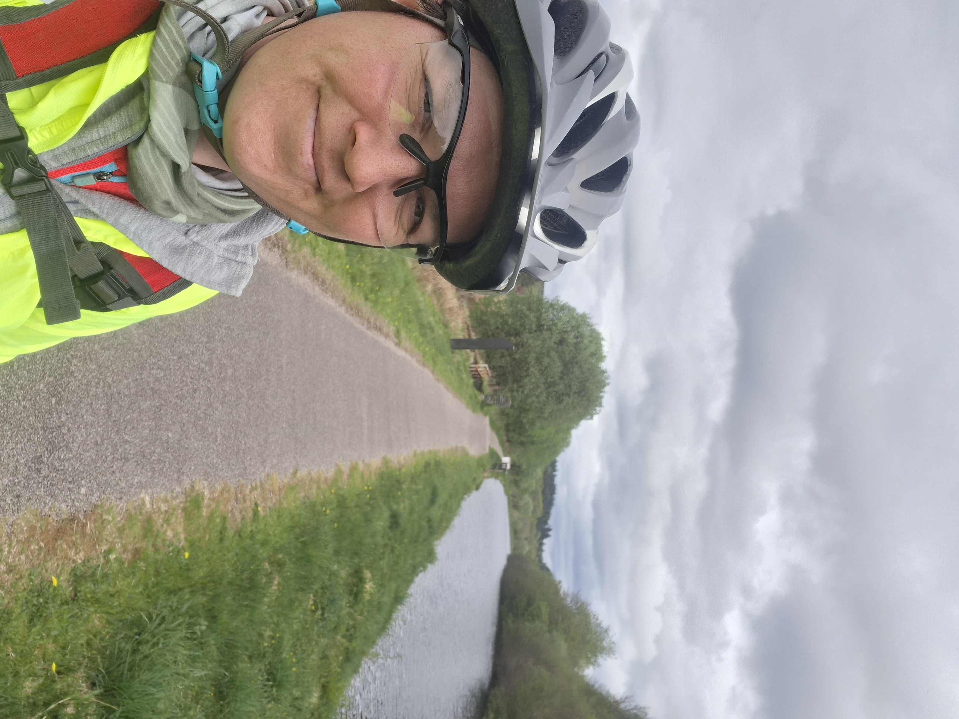
I set back off on the A816 towards Oban. I’d seen something on the map about stone artwork, so pulled into a car park near where the site was. The car park wanted payment, not a lot, but I thought about it and decided to move on. It was 2pm already and I didn’t want to pay for a full day if I wasn’t going to be there a full day. I’d gone past sign for Cairnbaan and could see boats there, and bikes cycling along a track. After looking on the map, I could see it was a cycle route that went along the Crinan canal. This had nice afternoon ride potential. I got there and found a layby by the locks. It always surprises me how none of the laybys are full, you’re never competing for space round here, or so it seems. It may just be that it’s not the holidays yet. Once I’d sorted myself out with all my cycling gear I started my ride along the canal. I had a rough idea in my head where to go but was open to change along the way. It was another pleasant day, sun out, but again a little chilly and a bit of scattered cloud overhead. I love a canal ride because you can sit back and enjoy the scenery, knowing it’s going to be fairly easy riding. The Crinan Canal is a 9-mile connecting route for boats to travel from Crinan on the West coast, to Ardrishaig on Loch Fyne. It was opened in 1801, allowing boats to avoid the long trip around the Kintyre peninsula.
As I was cycling the canal path there were a few mounted boards, which were really informative about the canal and the surrounding area and wildlife. Next to the canal runs the river Add, which continues through an area called Moine Mhor, which means The Great Moss. It is classed as an NNR, National Nature Reserve, covers just under 500 hectares, and is one of Europe’s most threatened habitats. It consists of a massive area of raised peat bog, some areas being 4 metres deep, which, with the contrast of the saltflats, creates an environment rich in biodiversity. It was heavily damaged in the mid-18th century when the peat was cultivated for fuel and the clay underneath was used for making tiles and pottery. Unfortunately, people were not aware at this point of the importance of the Great Moss.
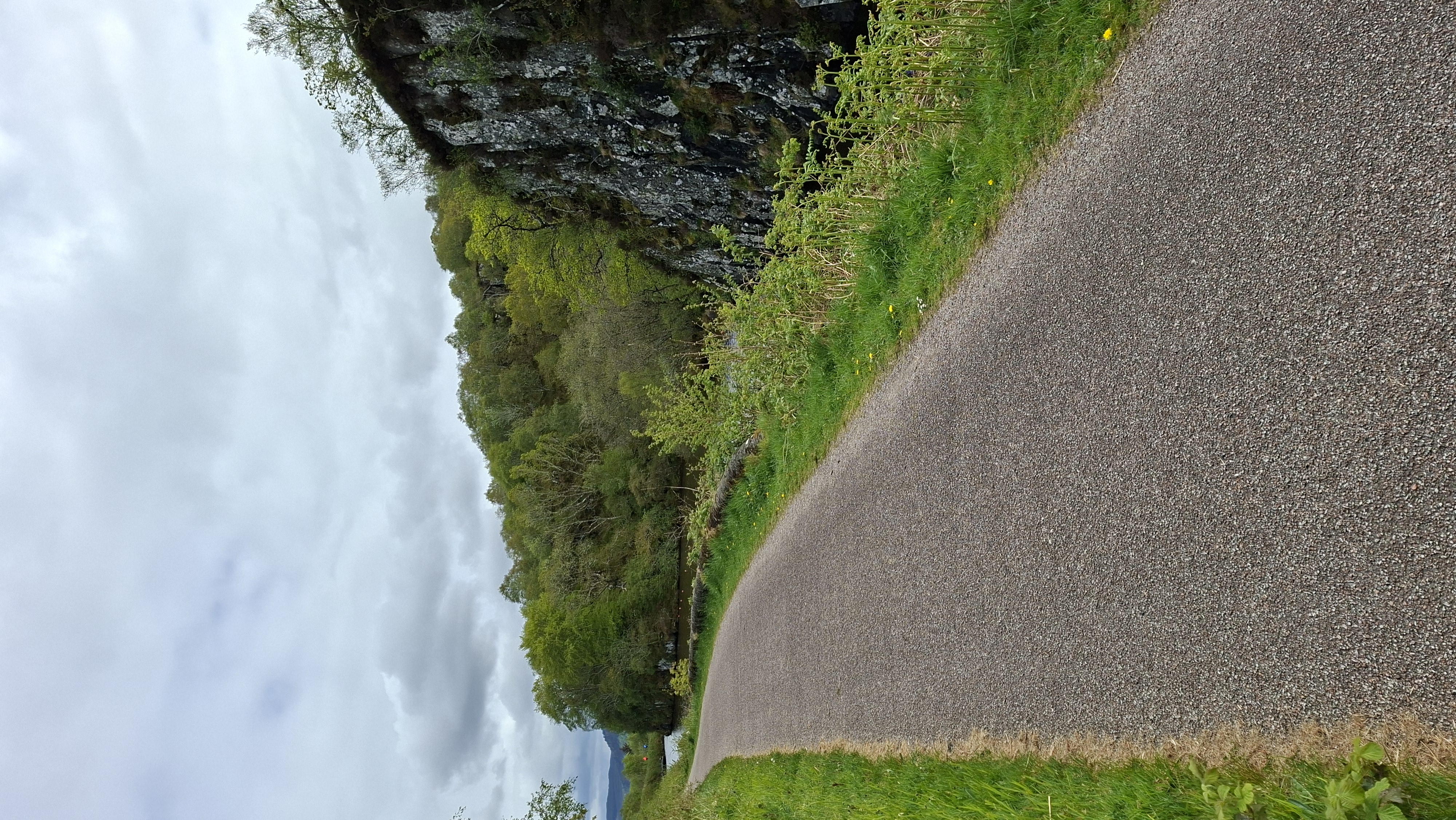
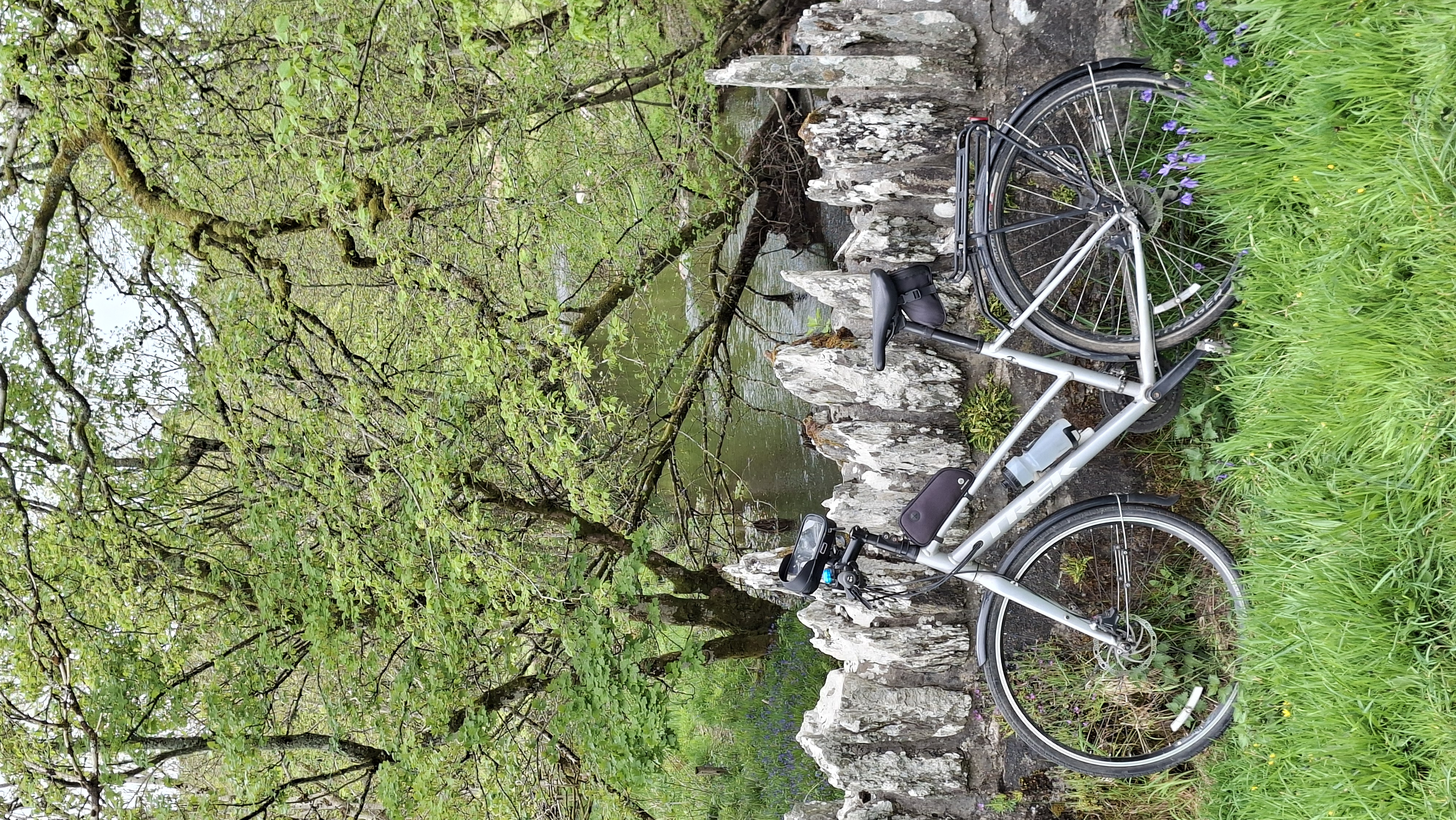
On the way to Crinan I passed a marina; large sheer rock faces where the canal had been cut through; and different forms of residence, including traditional cottages, houseboats and shepherd’s hut. On my return ride back from Crinan I diverted off down the cycle route across the Great Moss, a very long, flat tarmacked road heading towards Kilmartin. Pretty enough to look around the peat bogs, listen to the birds, but boring to see where you are going… straight. Once across the bog you see more varied scenery with smooth farm fields full of sheep, and ancient woodland with bluebells scattering the floor. I could see some standing stones on the map and headed in their direction. These were very pretty country roads following a small river, and I kept my eyes peeled for kingfishers. I turned off towards the stones and passed some beautiful houses with blossom heavy trees on the gravel drive, what an idyllic place to live. Then I heard a woodpecker. I scanned the tree line to see if I could spot it, but it would be almost impossible, I would have to be content with the rhythmic tones of its hammering as I finally reached the standing stones. Temple Wood was the name of this particular site, two sets of circular standing stone monuments, believed to have been created first in timber and replaced by stone in around 3000 BC, with a cist (chest) in the middle of one. The area of Kilmartin is well known for prehistoric monuments, being thought of as a spiritual place by our ancestors. Most of the monuments were buried under the peat and found during the 18th century peat removal.
On my cycling towards the stones I had noticed a pleasant looking car park, called Moine Mhor, which seemed free. After getting back to the van and packing away, I made my way to the car park, which had 3 other vans, and settled for the night. It was right next to the road, but not being a main road, it wasn’t very busy, and meant I felt safer than being tucked away in the back and beyond. It turned out there was a woodland walk from the carpark to a viewpoint out onto Moine Mhor, so a good activity for the morning.